Aboriginal Countries we work within
The Society is exploring the Aboriginal Countries we work within, so that we better understand the histories and stories of those that came before us.
'Country' is the term often used by Aboriginal peoples to describe the lands, waterways and seas to which they are connected. The term contains complex ideas about law, place, custom, language, spiritual belief, cultural practice, material sustenance, family and identify.
Did you know that Australia is home to over 250 Aboriginal nations, each with their own language?
Stories of old and new sit amongst us, messages and practices handed down through time. We can only begin to wonder at the enormity of the experiences and lives of those that have lived here for thousands of years.
Knowing the traditional name of the Country you are on, and other significant places is an important part of the reconciliation process – recognising Aboriginal knowledge systems, peoples and custodianship, and for acknowledging the true history of Australia.
Below are the six Aboriginal countries that we work on.
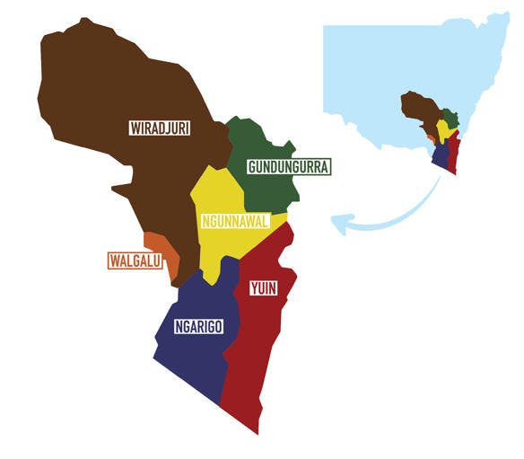
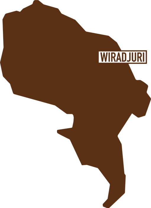
Wiradjuri
The Wiradjuri are the largest Aboriginal group in central New South Wales, by area and population. The people of the Wiradjuri country are known as “people of three rivers” being the Macquarie river (Wambool), Lachlan River (Kalari) and the Murrumbidgee River (Murrumbidjeri) which border their lands.
They have lived in these lands and along these rivers for more than 40,000 years. The Wiradjuri are identified as a coherent group as they maintained a cycle of ceremonies that moved in a ring around the whole tribal area. This cycle led to tribal coherence despite the large occupied area.
It is estimated that 12,000 spoke the Wiradjuri language prior to white settlement.
Today, major Wiradjuri populations can be found in rural and remote and throughout larger regional areas such as Bathurst, Dubbo, Orange, Lithgow and down to Wagga Wagga in the south.
Vinnies operates in the following towns that fall within Wiradjuri Country – Lake Cargelligo, West Wyalong, Temora, Young, Cootamundra, Gundagai, Adelong, Tumut, Murrumburrah, Boorowa, Grenfell and Crookwell.
Further reading:
Viewing:
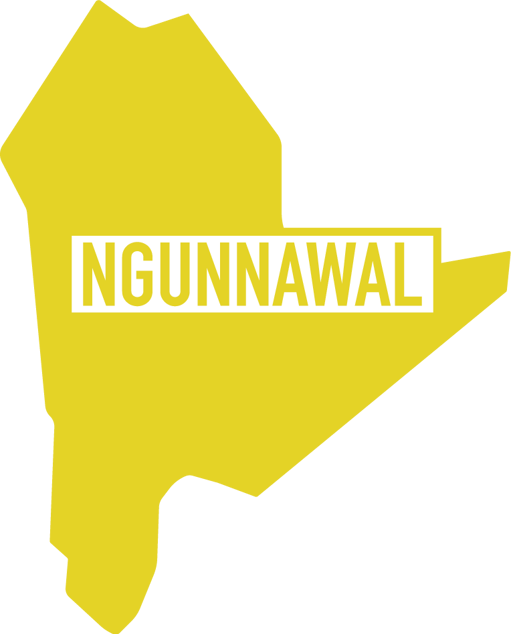
Ngunnawal
Canberra is Ngunnawal country. The Ngunnawal are the Indigenous people of this region and its first inhabitants. The neighbouring people are the Gundungurra to the north, the Ngarigo to the south, the Yuin on the coast, and the Wiradjuri inland. It is a harsh climate and difficult country for hunter-gatherer people. To live here required great knowledge of the environment, skillful custodianship of it and close cooperation.
People normally moved in small family groups but there were, on occasion, big gatherings of a thousand or more people at a time, coming together to make use of resources which were seasonally abundant (most famously the Bogong moth and the Yam Daisy). Important ceremonies were held, art was painted in rock shelters, marriages were arranged, goods were traded, important news was shared and old friends met again.
Further reading:
Viewing:
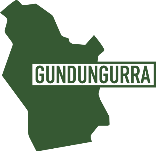
Gundungurra
Gundungurra country extends from the Upper Blue Mountains, to the south west through the Jamison and Burragorang Valleys towards Goulburn. Two major language groups were within the Goulburn Mulwaree region at the time of European contact; the Gandangara to the north of Goulburn and the Ngunawal to the south. It is likely that these tribal boundaries incorporated a number of distinct aboriginal communities with their own dialects, who were probably linked by kinship networks, common beliefs, ceremonies and customs.
Aboriginal people from the district maintained contact with surrounding groups and an absence of natural physical barriers in the region meant that travel was relatively easy. Large gatherings of Aboriginal people took place in Goulburn, with records of corroborees being held at Rocky Hill, the old railway quarry on the Wollondilly River, the Mulwaree Flats near Lansdowne Bridge at the brewery, and the site where the Goulburn rail station is located now.
Recorded Aboriginal heritage sites within Goulburn Mulwaree are often found along watercourses, or in elevated areas where food and shelter is available.
Viewing:
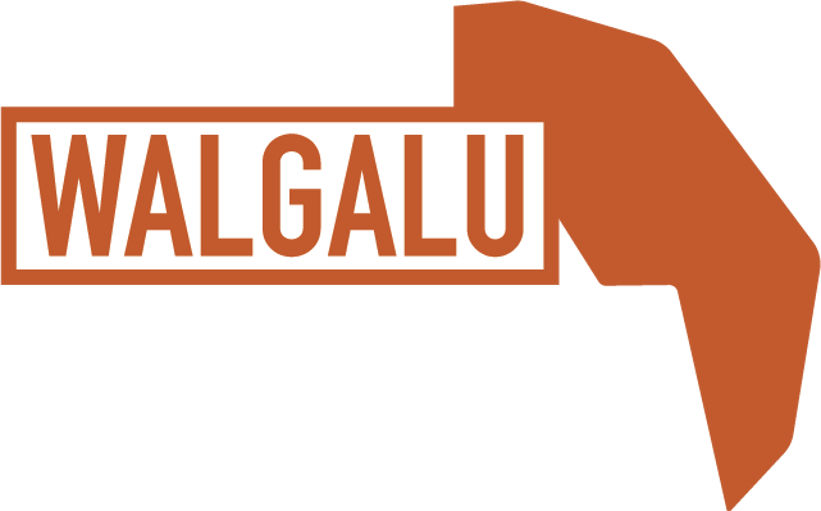
Walgalu
According to Norman Tindale, the Walgalu's traditional lands consisted of some 2,600 square miles (6,700 km2) of territory centering around the headwaters of
the Murrumbidgee and Tumut rivers. Kiandra was located within their boundaries, whose southern extension ran down Tintaldra, and whose northeastern limits were at Queanbeyan.[2] Josephine Flood argued, on the basis of a note in Alfred William Howitt, that they were attested as far south as the upper Murray site of Kauwambal between Mount Kosciuszko and Mount Cobberas, which would place their summer camping somewhat west of the Djilamatang.[2]
Further reading:
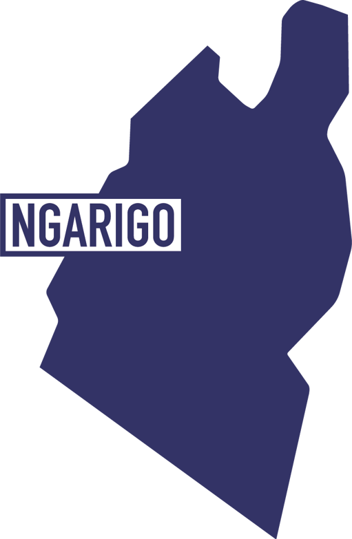
Ngarigo
The Ngarigo people are the traditional custodians of the majority of the region we now know as the Snowy Monaro.
Archaeological surveys reveal a long and rich cultural history, with significant sites throughout the region. The Monaro was heavily impacted by colonisation with many Aboriginal people leaving the area.
Despite this, Ngarigo people maintain strong spiritual and cultural connections to the high country and are increasingly being acknowledged and included in decision making across the region.
In 2016, a Memorandum of Understanding was signed between Ngarigo elders and the NSW Government enabling the local indigenous community to be involved in managing and preserving the cultural heritage of Kosciuzko National Park.
Further reading:
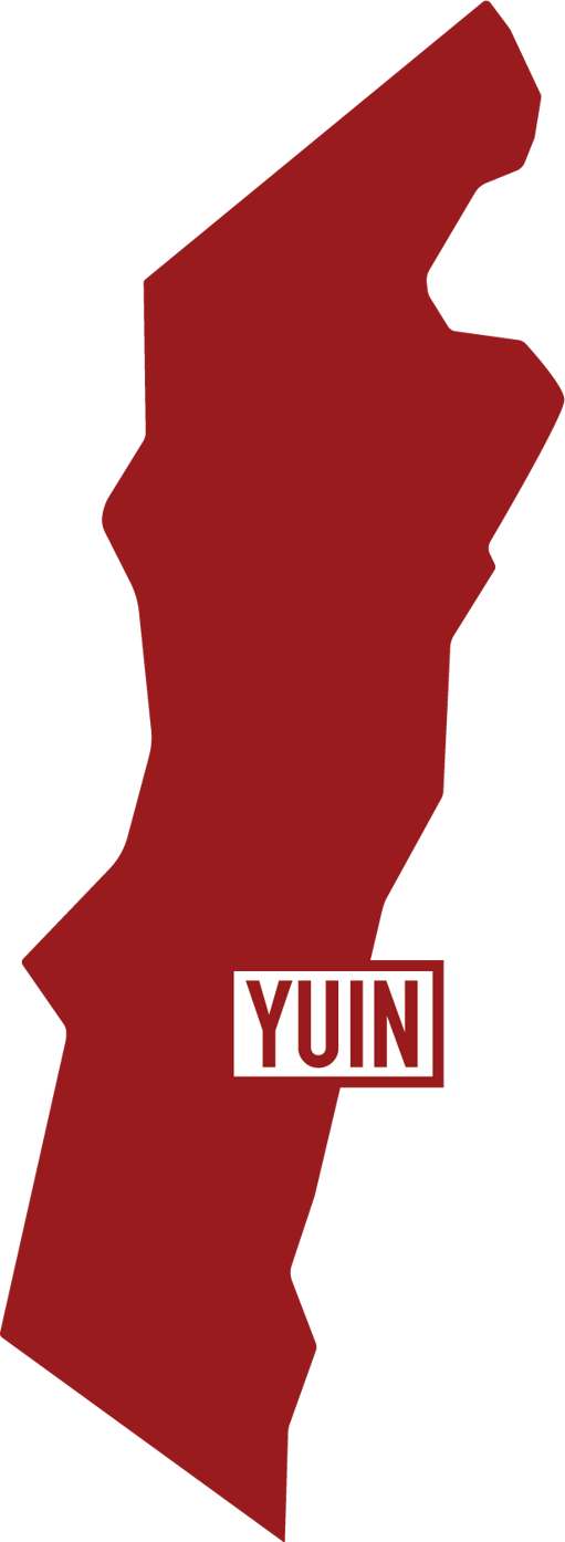
Yuin
Yuin is the name for the different groups who occupied territory from Cape Howe to the Shoalhaven River and inland to the Great Dividing Range. A number of groups form the Yuin Nation including the Wandiwandian, Dhurga, Bidewal, Walbanja and the Djiringanj. The Walbanja occupied the area between Durras and Narooma, and the Djiringanj from Narooma, south to Bega and west to the top of the range.
To the Yuin people, Gulaga is the Mother Mountain where the creation story begins and creates the connectedness between all of these groups.
Further reading:
- Yuin – Wikipedia
- Wallaga Lake Indigenous fishermen revive net fishing tradition in landmark collaboration
- Traditional Indigenous burning protecting last-known koalas on NSW far south coast
Viewing:
Our Reconciliation Action Plan
Read more about how we are dedicated to achieving transparent and positive working partnerships with Traditional Owners, Elders and Aboriginal and Torres Strait Islander led and supported organisations.
Share this page